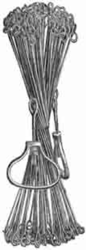
English and American land surveyors of the 18th and early 19th century generally used a surveyor's chain constructed of iron links, each 7.92 inches long. Surveying chains, called Gunters chains, normally were 66 feet long and were composed of 100 links. Eighty Gunters chains equaled one statute mile, and ten square chains (example: 5 chains x 2 chains) equaled one acre. A distance of 25 links (16.5 feet) was called a 'pole.' Clark used the expedition's two-pole (50-link, 33-feet) chain primarily to measure a baseline when determining a river's width by triangulation.