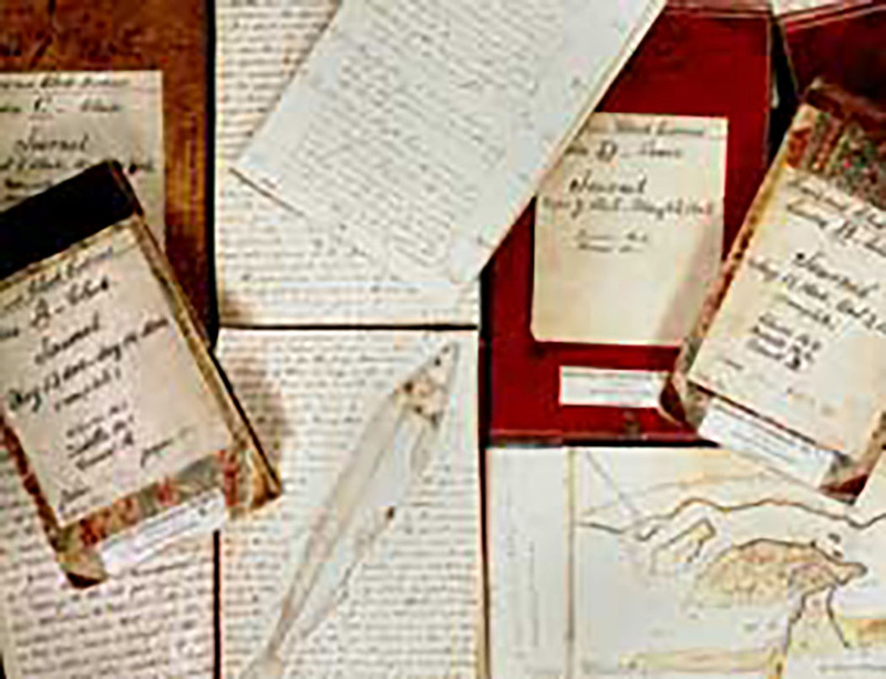
The Lewis and Clark Expedition started up the Missouri on May 14, 1804. Theirs was a scientific mission -- to discover what they could about the upper Missouri and a connecting route from its headwaters to the Pacific. Along the way, Lewis and Clark took and recorded magnetic bearings of the river's course, estimating the distance of each course. They also recorded aspects of the climate, geography and geology. By the time the expedition reached what is now Montana (April 27, 1805), it had logged more than 1900 river miles. The expedition exited Montana on September 13, 1805 at Lolo Pass and re-entered Montana at that same pass on June 29, 1806. By August 3, 1806 Clark had reached Montana's eastern border. Lewis passed that border on August 7. Lewis and Clark and several of the enlisted men kept journals in which they recorded the events of the day and their observations. The captains' journals were published in 1814, but most of the geological, botanical and navigational entries were deleted. When the original manuscript journals of Captains' Lewis and Clark were rediscovered in the early 1890s and published in 1904-05, new interest developed in the expedition. Since 1905, additional original materials have been discovered, and interest remains strong as the spirit of the expedition continues through the present day. The first description of Lewis and Clark's geological observations begins on April 28, 1805.