The Nautical Almanac and Astronomical Ephemeris, 1805
Description:
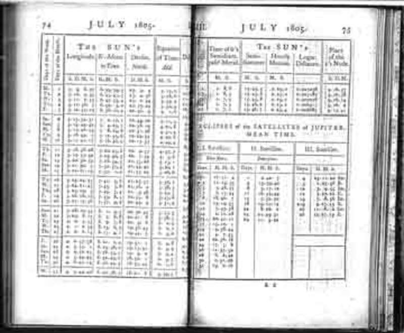
The captains' celestial observations yielded nothing more than raw data. To determine latitude, longitude, and magnetic declination, their observations were processed with information provided by almanacs and tables. Lewis carried with him The Nautical Almanac and Astronomical Ephemeris for the Year 1803, 1804 and 1805 (it is not certain that he had the 1806 almanac). The almanacs were published several years in advance of the year indicated on them and gave the celestial coordinates of the sun, moon, planets, and navigational stars at various increments of time at Greenwich, England. A companion book to the Nautical Almanac was: Tables Requisite to be Used with the Nautical Ephemeris for Finding the Latitude and Longitude at Sea (Nevil Maskelyne). These books provided Lewis and Clark with valuable information on how and when to take observations, what corrections they needed to make to obtain valid results, and how to calculate geographic data from most of their observations. In addition, Lewis brought along a copy of A Practical Introduction to Spherics and Nautical Astronomy (Patrick Kelly) -- a practical guide to spherical trigonometry and how to compute celestial observations and convert them into geographic information.